





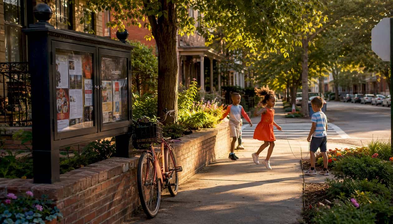
A neighborhood walkthrough is a short, structured community walk where residents, city staff, and local stakeholders document street-level conditions together and turn those observations into requests for real change. The goal is simple: get eyes on the ground, record what you find, and bring that evidence to the people who can act on it.
Here’s why it’s worth your time:
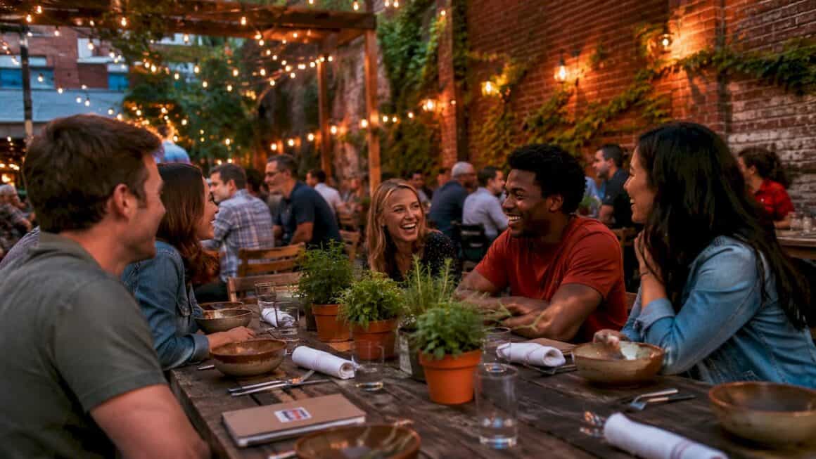
- Social value. Spontaneous, low-stakes interactions on shared walks build public familiarity, turning familiar strangers into neighbors who actually look out for each other.
- Planning value. Smart Growth America calls walk audits the most effective way to turn abstract data into a tangible, shared experience. Standing at an uncovered bus stop at noon hits differently than reading a heat-map.
- Advocacy value. Documented findings support funding requests, Safe Routes to School programs, and direct pitches to city council. The Best in KC covers KC neighborhood revitalization closely, and a solid walkthrough report is exactly the kind of evidence that moves those conversations forward.
Table of Contents
How do you plan and run a neighborhood walkthrough in Kansas City?
Format, roles, and who should show up
Keep the route between 1 and 1.25 miles to avoid fatigue and keep the group focused. A moderate-sized group works well to balance perspectives and manageability. Plan for about an hour to an hour and a half total. Cost is near-zero: a printed checklist and maybe a permit notification to city staff.
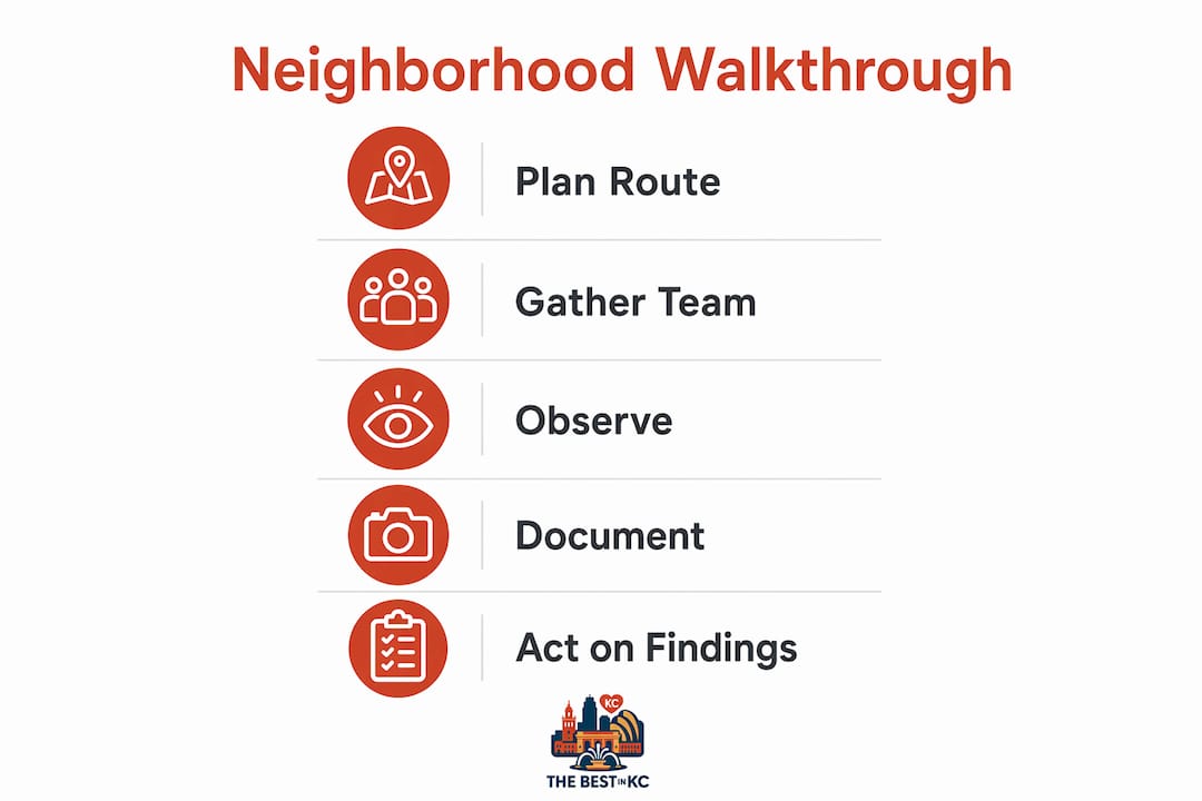
Assign four roles before you leave the parking lot: organizer (sets pace, manages stops), note-taker (logs observations on paper or a Google Form), photographer (geotagged photos, one per issue), and accessibility observer (specifically watches for barriers affecting mobility-aid users, parents with strollers, or people with visual impairments). Invite residents, business owners, transportation planners, and at least one elected official. Walking together helps decision-makers feel the consequences of a narrow lane or a missing crosswalk in a way no spreadsheet can replicate.
Step-by-step planning checklist
- Choose your route. Target a corridor with known concerns: a stretch of sidewalk complaints, a busy crossing, or a block with high storefront turnover. In KC, strong starting points include the City Market area (5th Street to the River Market loop), the Crossroads Arts District along 19th Street, or a streetcar-adjacent block on Main Street.
- Notify city staff. You don’t need a permit for a public sidewalk walk, but a heads-up email to your city council rep or neighborhood association gets the right people in the room.
- Test the route first. Walk it with 3–5 volunteers to calibrate your checklist and spot anything you missed on the map.
- Schedule two visits. Conditions change dramatically between a Tuesday morning and a Saturday evening. Run the walk at least twice to capture real differences in foot traffic, noise, and lighting.
- Prep your safety kit. Review the KC neighborhood safety checklist before you go, and brief participants on crossing protocols.
Pro Tip: You don’t need professional planners to run a successful walk. As Muncie Waypoint puts it, the real skill is “humble observation”: residents documenting what works and what struggles, without overcomplicating it.
What to observe: your field checklist
Group observations by civic furniture so officials can act on structured data rather than a wall of notes.
| Category | What to check |
|---|---|
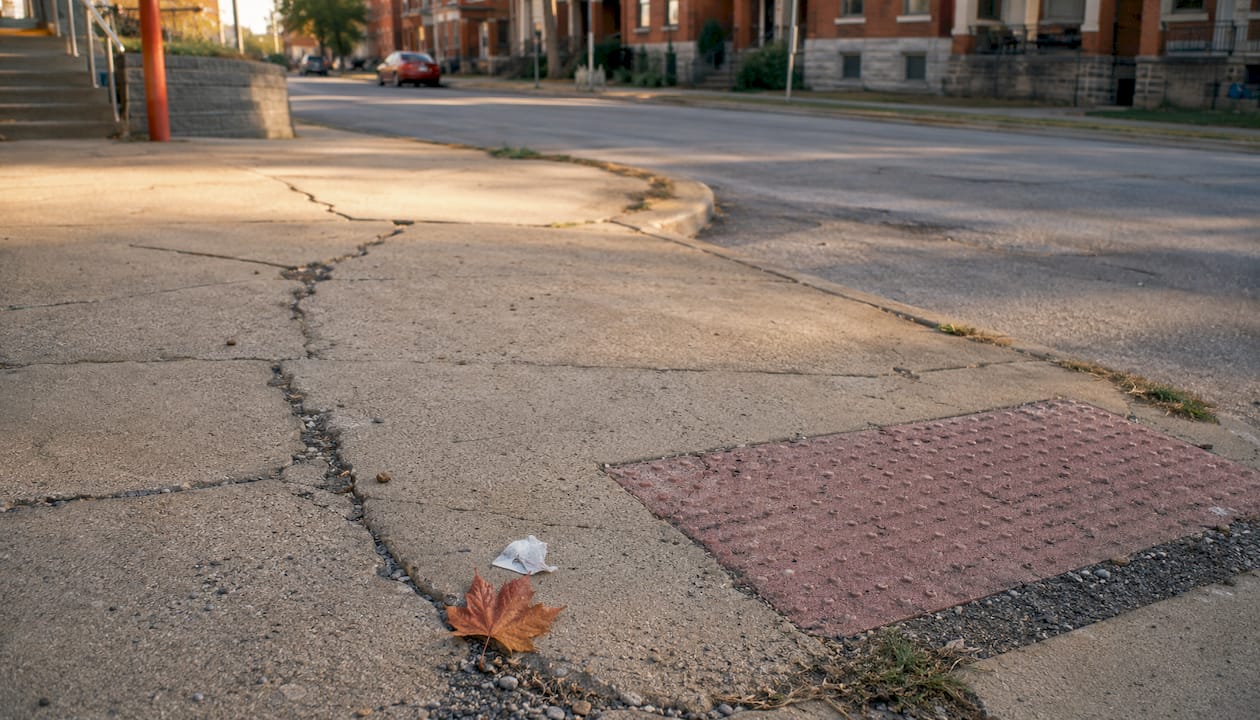
| Sidewalks and crossings | Cracks, gaps, missing curb cuts, crosswalk visibility, signal timing |
| Lighting | Coverage gaps, burned-out fixtures, dark alleys or parking areas |
| Benches and bus stops | Condition, shade, proximity to destinations |
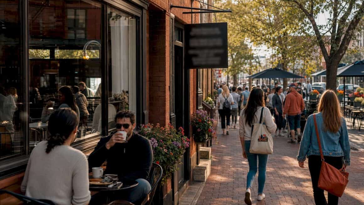
| Storefront conditions | Vacancy rate, signage legibility, sidewalk seating, accessibility of entrances |
| Active hazards | Obstructions (dumpsters, overgrown hedges), broken pavement, standing water |
| Placemaking assets | Community gardens, public art, street trees, bike parking |
Turning findings into action
After the walk, compile notes into a one-page summary organized by the categories above. A walk audit can supply baseline conditions for grant applications, quantify disparities across neighborhoods, and give city staff a georeferenced dataset they can actually use. Present findings at your next neighborhood association meeting, send the photo log to your council rep, and follow up in 60 days. That follow-up is what separates a pleasant stroll from a neighborhood revitalization catalyst.
After a long walk, you’ve earned a reward. Check The Best in KC’s guide to local food trucks for the best post-walk fuel near your route.
Key Takeaways
A neighborhood walkthrough turns street-level observations into structured, documented evidence that residents and city officials can act on together.
| Point | Details |
|---|---|
| Keep routes short | Stick to 1–1.25 miles and test with 3–5 volunteers before the full group walk. |
| Assign four roles | Organizer, note-taker, photographer, and accessibility observer cover every angle. |
| Walk twice, different times | Morning and evening visits reveal conditions no single visit captures. |
| Group by civic furniture | Organize notes by sidewalks, lighting, benches, and storefronts for actionable reports. |
| Follow up in 60 days | Present findings to your neighborhood association and city council rep with a photo log. |